

flypix
FlyPix is a geospatial SaaS platform that uses AI agents to automate detection, monitoring, and inspection in satellite, aerial and drone imagery, enabling fast object identification, custom model training, and analytics for industries like construction, agriculture, forestry and government.
flypix is ai detection software teams evaluate for creative & design. Use this page to review pricing, integration signals, and the best alternatives before you commit.
Profile facts come from the vendor source. AiMatch labels unknown pricing or API details instead of estimating them.
Review official source →Quick Overview
Best for: Creative & Design
What it does
AI Detection software for decision-makers comparing workflow fit and alternatives.
Best fit
Creative & Design
Pricing snapshot
Freemium from Free / 1 user seat
Next step
Compare flypix with similar tools before you shortlist it.
Compare this tool before you shortlist it
Review alternatives, pricing posture, and workflow fit side by side.
FlyPix is an AI-enabled geospatial analysis platform that automates detection, monitoring, and inspection across satellite, aerial, and drone imagery. The platform uses AI agents and custom-trained models to quickly identify and outline numerous objects in complex and dense geospatial scenes, claiming time savings (up to 99.7% on the page) and rapid, scalable processing. FlyPix targets geospatial professionals and industry verticals (construction, agriculture, forestry, government, ports, mining, renewable energy, etc.), offering model training without programming knowledge, analytics dashboards, and production-focused features such as API access and collaboration tools.
Geospatial AI platform for object detection and analysis on Earth observation data.
Own this listing?
Claim this page for a one-time $29 to add pricing, features, screenshots, verified owner details, and a clearly labeled 30-day category position after the profile is live.
Claim this listing for $29Key Features
AI agent-based automation
Automates satellite, aerial and drone image analysis using AI agents to detect, monitor, and inspect at scale.
Custom AI model training
Train custom AI models without programming knowledge using user-defined annotations to detect objects in imagery according to specific needs.
Model prediction / detection
Run AI model predictions and detections on uploaded imagery with access to FlyPix AI models.
Analytics dashboard
Access analytics dashboards for processed imagery and derived geospatial insights.
Multispectral data support
Plans advertise support for multispectral data processing.
Collaboration & map sharing
Export vector layers, share maps, publish maps, and use access control and team management in higher-tier plans.
API access
Professional plan includes access to an API for programmatic integration.
Tiered support & QA
Support SLAs vary by plan (email response windows, chat support) and Professional includes extra QA with GIS experts and white-label options.
Credits and processing quotas
Plans include monthly credits and processing capacity expressed in gigapixels; Basic includes a one-time 10 credits and Starter/Standard/Professional include higher monthly credits and gigapixel processing limits.
Pricing
Basic (Free): 1 user seat, 3GB one-time storage, 10 credits (rechargeable), access to FlyPix AI models, model training and predictions, analytics dashboard, limited support.
Basic (Free)
Free / 1 user seat- Storage 3GB One Time
- 10 Credits recharge anytime
- Access to FlyPix AI models
- AI model training
Starter
€50 / 1 user seat / month- Storage 10GB
- Monthly Credits 50
- Processing 1 Gigapixels
- Access to FlyPix AI models
Standard
€500 / 2 user seat / month- Storage 120GB
- Monthly Credits 500 + 100 Credits
- Processing 12 Gigapixels
- Access to FlyPix AI models
Professional
€2000 / 5 user seat / month- Storage 600GB
- Monthly Credits 2,000 + 1,000 Credits
- Processing 60 Gigapixels
- Access to FlyPix AI models
Use Cases
Automated object detection in aerial and satellite imagery
Use AI agents to identify and outline numerous objects quickly in complex and dense scenes for mapping, monitoring, and inspection.
Land-use classification and mapping
Automate land-use classification workflows (testimonial cites automation of land-use classification with high precision and speed).
Drone imagery processing for inspections
Turn drone imagery into actionable results for inspections and operational decision-making (testimonial references converting drone imagery into actionable results).
Environmental and cleanup mission support
Support ecological and cleanup missions with geospatial insights (testimonial references elevated impact on clean-up missions).
Industry-specific monitoring (ports, forestry, agriculture)
Apply custom AI models for sector-specific tasks such as port operations monitoring, forestry mapping, agricultural field analysis, and infrastructure maintenance.
Integrations
API
Programmatic access to FlyPix functionality (available in Professional plan).
ESA BIC Hessen
Partner organization listed on the site.
NVIDIA Inception Program
Partner program listed on the site.
Google for Startups
Partner program listed on the site.
IBM for Startups
Partner program listed on the site.
Benefits
Limitations
No verified limitations are available.
Frequently Asked Questions
No verified FAQs are available.
Getting Started
- 1 Step 1: Start a trial or create an account via the 'Try Now' / 'Get Started' flow on the FlyPix website.
- 2 Step 2: Choose a pricing plan (Basic, Starter, Standard, Professional) that matches your storage, credits, and support needs.
- 3 Step 3: Train a custom AI model using user-defined annotations and run predictions/detections through the platform's analytics dashboard.
Support
General contact and support: [email protected]; pricing lists email response SLAs varying by plan (e.g., 5 business days for Starter).
phone
Phone contact provided: +49 6151 7076949.
chat
Support chat is available on the Professional plan (per pricing page).
docs/news
News, blog posts, and resources are available on the website (News and Blog sections).
API
Compare flypix with similar tools
See how it stacks up against alternatives
Related Tools
View all 32 →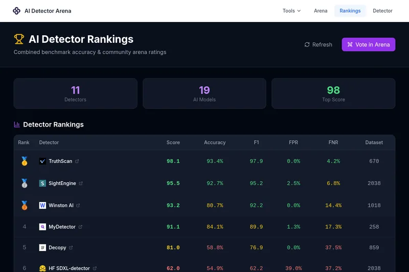
Aidetectarena
AI Detector Arena is an independent benchmark platform that tests and ranks AI image detectors using an automated curated dataset and a live community Elo arena to measure accuracy, false positives, and false negatives.

Detecting-AI
Detecting-AI is a web-based AI detection suite that identifies AI-generated text with sentence-level highlighting, multi-language support, and integrations for educators, publishers, and businesses.

track-ai-answers
Track AI Answers monitors and tracks what multiple AI chatbots (ChatGPT, Bing AI, Google Bard, OpenAI GPT-3, etc.) say about people, brands, products and top recommendation lists, and notifies you when those answers change.

Originality
Originality.ai is a commercial content-integrity platform providing an AI content detector and a suite of quality tools — including plagiarism checking, grammar, readability, fact checking, bulk/site scanning, and integrations (Chrome extension, Moodle plugin, API) — aimed at writers, publishers, educators, and enterprises.

Leap AI (tryleap.ai)
Leap AI (tryleap.ai) is a web tool that detects AI-written text and rewrites (humanizes) it in one click, providing sentence-level AI probability highlighting and preserving meaning and tone. It targets students, writers, marketers, and professionals who use AI-assisted writing.

Natural Write
AI Natural Write provides AI Humanizer and AI Detector tools that transform AI-generated text into human-sounding writing and claim to bypass major AI detectors (Turnitin, GPTZero, Originality.ai). It offers a free plan with credits and paid plans (currently advertised with up to 50% off).

Lasso Moderation
Lasso Moderation is an AI-powered content moderation platform that automatically detects and removes harmful content across text, image, video, and audio, offering a dashboard, customizable rules, pre-built integrations, and a REST API for developer integration.
Premium Alternatives
apyhub-ai-apis
ApyHub's Artificial Intelligence catalog of hosted model APIs — a collection of HTTP-accessible AI endpoints for tasks like classification, summarization, sentiment, moderation, extraction and more, offered as pay-per-call services and organized into categories.

Tweetdetective
TweetDetective is a Chrome extension that analyzes tweets and displays a real-time probability that a tweet was AI-generated using advanced detection algorithms aimed at identifying content from popular models.