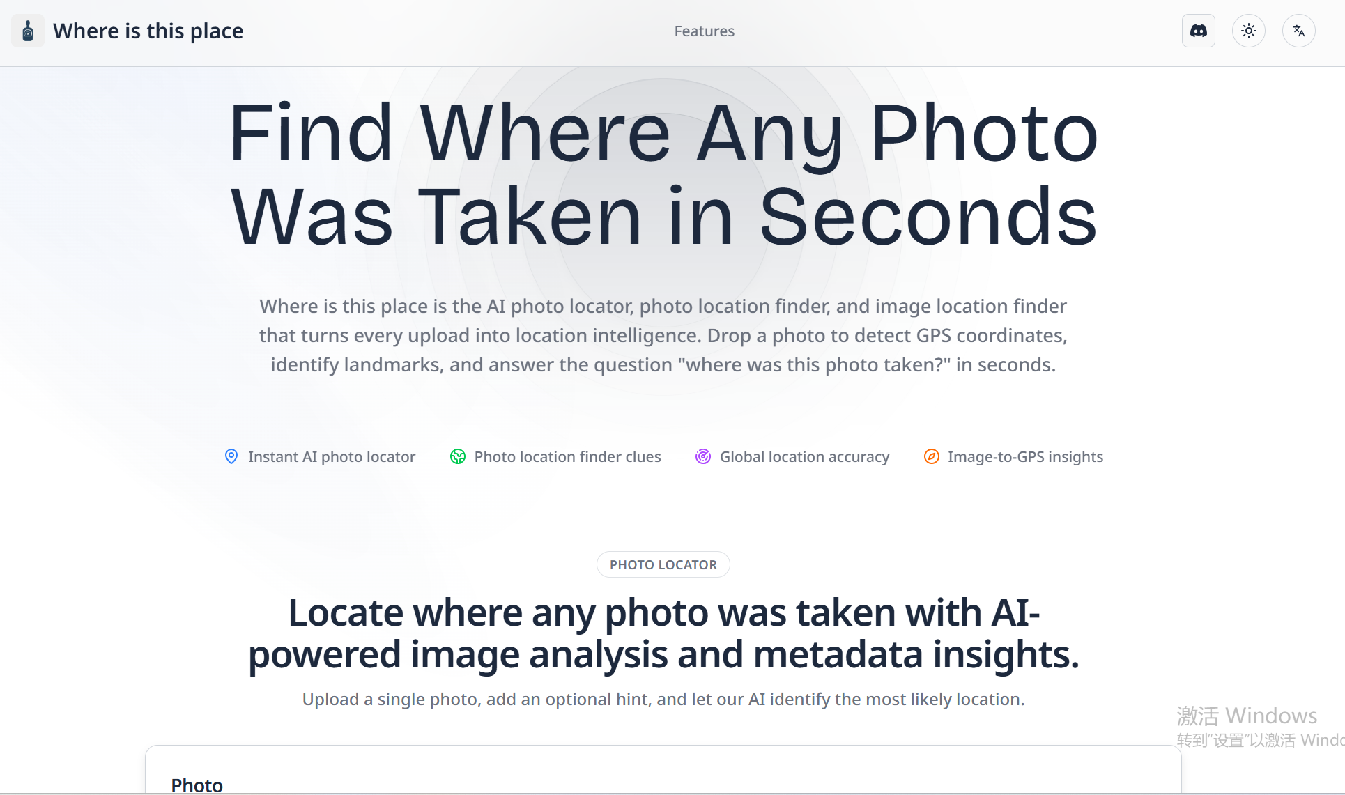
Whereisthisplace
Where is this place is an AI-powered photo locator and image location finder that analyzes uploaded photos to detect GPS coordinates, identify landmarks, and provide image-to-GPS insights, map previews, and evidence-rich reports.
Whereisthisplace is travel software teams evaluate for education & research. Use this page to review pricing, integration signals, and the best alternatives before you commit.
Quick Overview
Best for: Education & Research
What it does
Travel software for decision-makers comparing workflow fit and alternatives.
Best fit
Education & Research
Pricing snapshot
Contact for pricing
Next step
Compare Whereisthisplace with similar tools before you shortlist it.
Compare this tool before you shortlist it
Review alternatives, pricing posture, and workflow fit side by side.
Whereisthisplace
Where is this place is an AI photo locator and image location finder that turns uploaded photos into location intelligence by detecting GPS coordinates, identifying landmarks, and providing contextual evidence. The product blends computer vision, metadata parsing (EXIF), and global map data to give ranked location predictions, similar image matches, and verification tips within seconds.
Designed for travelers, creators, analysts, and open-source investigators, the service offers interactive map review, Street View and satellite layers, case management, collaboration features, and exportable evidence-rich reports while emphasizing a privacy-first workflow with encrypted photo handling and optional auto-delete.
Where is this place is an AI-powered photo locator and image location finder that analyzes uploaded photos to detect GPS coordinates, identify landmarks, and provide image-to-GPS insights, map previews, and evidence-rich reports.
Own this listing?
Claim this page to add pricing, features, screenshots, and verified owner details.
Claim this listingKey Features
AI Photo Locator Engine
Gemini AI Photo Locator Engine that matches skylines, street signs, and textures against a global database to generate location suggestions.
EXIF & Metadata Scan
Surfaces hidden GPS data, timestamps, and device insights from image metadata to inform location analysis.
Landmark Recognition
Detects monuments, storefronts, and natural features using image models to identify likely locations.
Interactive Map Review
Investigate suggested coordinates with map previews, Street View, and satellite layers.
Case Management
Organize investigations, group related photos, and keep findings in one place for review.
Collaboration Ready
Share results securely with teammates, add notes, and crowdsource local expertise.
Instant Photo Analysis
Upload an image and receive ranked predictions, similar spots, and verification tips within seconds.
Evidence-Rich Reports
Export GPS coordinates, addresses, reverse image matches, map previews, and contextual notes explaining each lead.
Global Coverage Database
Continuously updated imagery, travel data, and AI models trained on landmarks worldwide to improve results.
Privacy-First Workflow
Options such as auto-delete, private workspaces, and encrypted photo handling; images are processed only to locate the photo and retained only if shared.
Pricing
Claim this listing to add current pricing tiers.
Use Cases
Travel research and planning
Identify where photos were taken to plan trips or find visually similar destinations.
Content verification
Fact-check images by locating their origin and producing evidence-rich reports for verification.
OSINT and investigations
Support open-source investigations with image-to-GPS insights, metadata analysis, and collaborative case management.
Creator & storyteller research
Help creators find and verify locations for storytelling, publishing, and content accuracy.
Integrations
Map & Street View
Investigate suggested coordinates with map previews, Street View, and satellite layers.
Global imagery datasets
Uses continuously updated imagery and travel data as part of its global coverage database.
Benefits
Limitations
Claim this listing to add transparent limitations.
Frequently Asked Questions
Claim this listing to publish FAQs.
Getting Started
- 1 Step 1: Drag & drop or click to upload a photo (single photo upload supported)
- 2 Step 2: Optionally add a location hint to assist analysis
- 3 Step 3: Complete the on-site security verification prompt and click Analyze photo
- 4 Step 4: Review suggested coordinates, map previews, Street View, and evidence
- 5 Step 5: Export reports or share results with teammates and manage investigations in workspaces
Support
chat (Discord)
Join the project's Discord to request features and engage with the community (site invites users to join Discord).
docs
Site includes Privacy Policy, Terms of Service, Cookie Policy and other legal/resources linked in the footer.
API
Compare Whereisthisplace with similar tools
See how it stacks up against alternatives
Related Tools
View all 2 →
Premium Alternatives
%22%2F%3E%20%3Ctext%20x%3D%2250%25%22%20y%3D%2250%25%22%20dominant-baseline%3D%22central%22%20text-anchor%3D%22middle%22%20font-family%3D%22system-ui%2C-apple-system%2Csans-serif%22%20font-weight%3D%22700%22%20font-size%3D%2250%22%20fill%3D%22white%22%3EO%3C%2Ftext%3E%20%3C%2Fsvg%3E)
OTP Inspired actor supervisor based full stack templates
ShipStacks provides production-grade, OTP-inspired full-stack SaaS templates that include supervisors/actor patterns, auth, payments, uploads, AI chat and agent playbooks, and Docker-ready deployment in multiple languages and frameworks.
ClaudeThings
ClaudeThings provides a packaged, continuously-updating set of 89 specialized agents, 103 pre-built skills, and 181 slash commands that act as an AI engineering and marketing team for Claude Code — delivered as a private GitHub repo and installed with a single npx command. It adapts to any stack via a CLAUDE.md project manifest and is sold as a one-time purchase with lifetime updates.
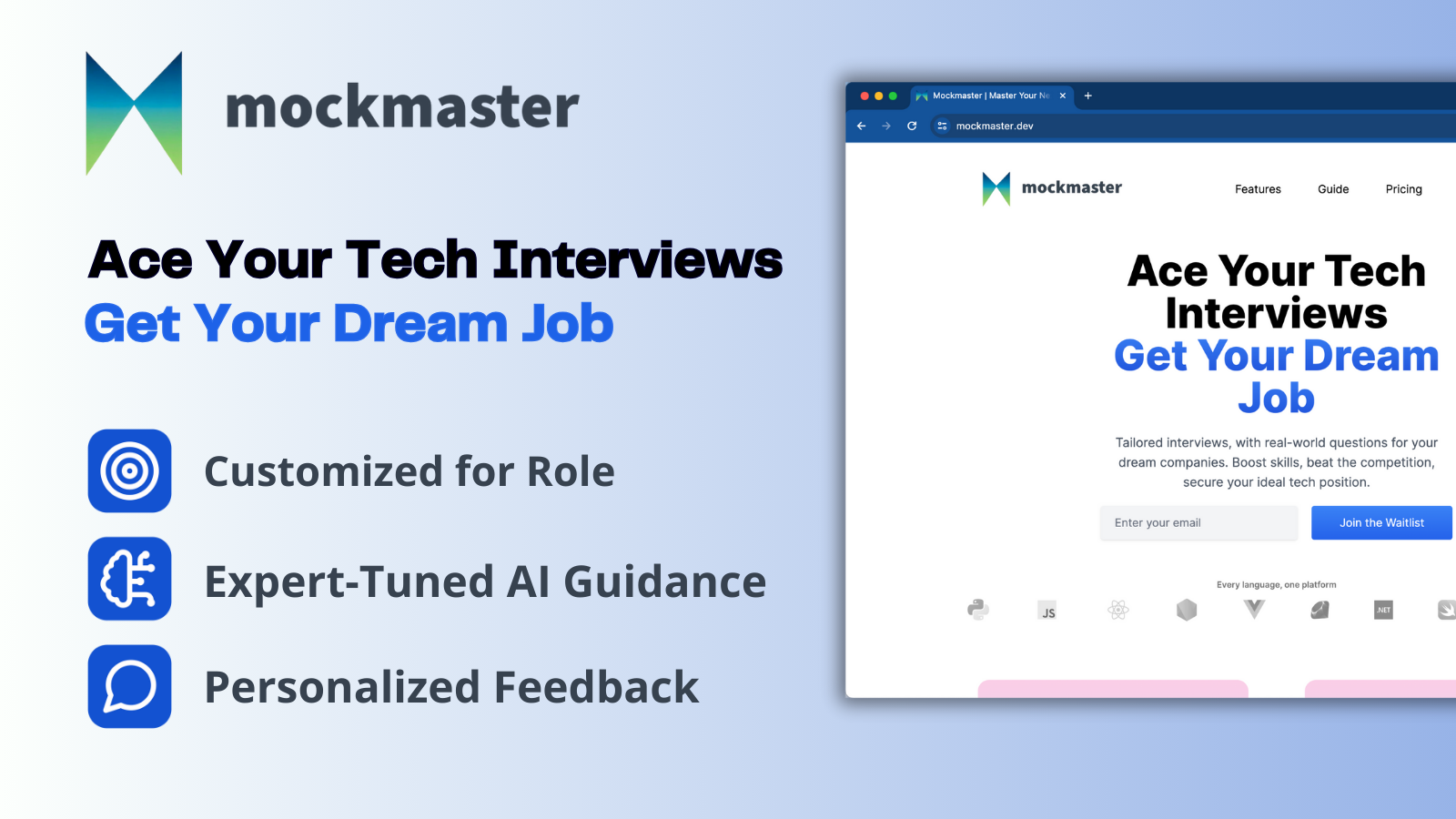
Mockmaster
Mockmaster is an AI-driven interview practice app that generates tailored mock technical interviews, provides personalized feedback and spaced-repetition study tools to help software engineers prepare for roles across experience levels and top tech companies.
Sendpotion
Potion (Sendpotion) is an AI video personalization platform that generates hyper-realistic videos in your own face, voice, and gestures for sales, marketing, support, and education, enabling scalable personalized outreach and video content creation.
Enquirygenie
Enquiry Genie is an AI-powered email automation tool for property managers and hosts that drafts replies in your tone with live pricing and availability, integrating with Gmail/Outlook via a Chrome extension to speed up responses and increase bookings.

Neverjobless
NeverJobless offers personalized resume review services including a 15-minute recorded "resume roast", ATS-friendly templates, AI prompts and longer 1:1 resume calls aimed at improving interview callbacks for product managers and other tech roles.